Low pressure in US midwest brings unseasonable heat to New York and Boston


Further south this week, severe thunderstorms affected midterms voting in Florida, Oklahoma and Colorado Despite the rapid descent into autumn in the northern hemisphere, parts of eastern North America have experienced an exceptionally late taste of summer in recent days. Temperatures approached 23C (73.4F) in New York and Boston, about 7-10C above what is expected in early November. The...
Despite the rapid descent into autumn in the northern hemisphere, parts of eastern North America have experienced an exceptionally late taste of summer in recent days. Temperatures approached 23C (73.4F) in New York and Boston, about 7-10C above what is expected in early November. The unseasonable warmth also spilled into parts of eastern Canada, with temperatures exceeding 20C, about 10-15C above normal for the time of year. The balmy conditions were the result on an area of low pressure in the US midwest, dragging up exceptionally warm air from the Gulf of Mexico along its eastern flank. This area of low pressure will gradually drift eastwards, allowing temperatures to fall closer to the average.
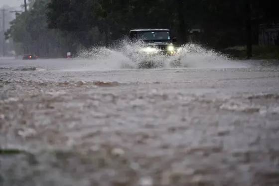
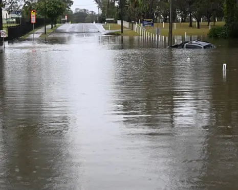
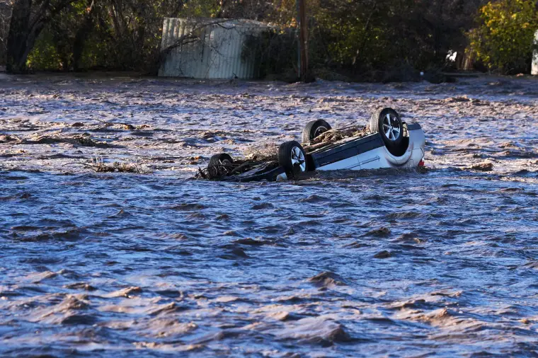
Further south in the US, severe thunderstorms have resulted in numerous flood warnings and evacuation warnings being issued this week across many states, with disruptive weather impacting polling stations in states such Florida, Oklahoma and Colorado. The powerful thunderstorms this week even resulted in a tornado touching down in Keyes, Oklahoma, forcing a relocation of the polling station. The tornado left extensive damage across the town, although no causalities have been reported. Officials across many states impacted by the severe weather have requested federal funding assistance after extreme weather resulted in widespread damage to homes and infrastructure.
Across the Atlantic, a number of authorities in the Mediterranean regions of southern France, Corsica and Sardinia issued severe flood warnings this week, as an area of low pressure in the region brought thunderstorms and torrential rain. As much as 50-100mm (2-4in) of rain is expected over the coming days with more localised totals in excess of 100mm possible in the southern French regions of Provence-Alpes-Côte d’Azur and Occitanie, as well as Corsica. Where torrential rain is most prolonged, up to 70-80mm of rain could fall within a 24-hour period. Further rain is expected next week as low pressure continues to dominate the weather pattern in the region.
Related Articles
- World News
Stormy weather could hit key states on Election Day, forecasters predict
- World News
‘Unusually large’ multi-state storm causing severe weather for Australia’s east – with more on the way
- World News
Cold blast brings springtime snow to alpine regions as temperatures plummet across Australia’s south-east
- World News
Will your Halloween weather be a trick or treat? Here is your forecast
- World News
Floods and severe weather beset parts of the U.S. on Election Day